
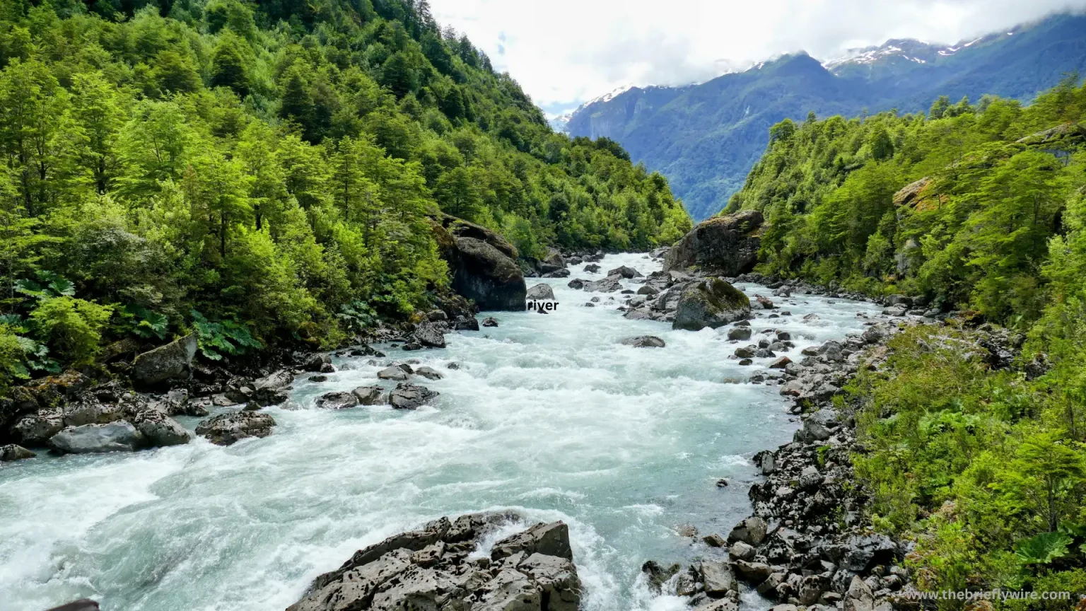

When we hear the term international border, we often imagine huge walls, barbed-wire fences, or zigzagging lines drawn across a map. But did you know that rivers can also serve as international borders between countries?
- How Do Rivers Define International Borders?
- Which Part of a River Is Considered an International Border?
- International Law for Determining River Boundaries
- Does an International Border Change When a River Changes Its Course?
- Frequently Asked Questions (FAQs)
- How Do Rivers Function as International Borders?
- What Is the ‘Thalweg Principle’ Used to Determine a River Boundary?
- What Are Some Major Examples of International River Borders Around the World?
- Conclusion
You may be wondering how rivers can function as border lines. Rivers are not used only as sources of drinking water or for agriculture; they can also serve as natural boundaries separating two different countries, regions, or cultures.
In today’s digital age, rivers are not merely geographical features of nature. They can also represent a clear division of territory and sovereignty between two nations.
So, how exactly do rivers serve this purpose? We will explore that in this article. I have made every effort to explain these points in simple language so that you can understand the topic clearly and completely. So, let’s get started.
How Do Rivers Define International Borders?
Since ancient times, rivers have been used as boundaries between countries. There are several reasons for this. One of the main reasons is that rivers are natural geographical features that are often easy to identify, and crossing a river can be more difficult than crossing an ordinary land boundary.
Unlike an imaginary line on a map, a river can often be physically identified on the ground and from the air. This makes it a practical geographical feature for defining a boundary.
When a river is considered as an international boundary, it is not viewed merely as a source of water. It is also considered an important geographical feature connected to territory and national sovereignty.
In the process of establishing an international boundary, the riverbank and the river channel can play an important role. When a river is legally recognized as the official international boundary between two countries, it can serve to distinguish the territories of the two countries.
Why Are Rivers Used as International Borders?
Using a river as a natural boundary can make it easier for both countries to identify the limits of their respective territories. It can also make border administration easier because a clearly identifiable natural feature can help authorities monitor crossings and manage the boundary.
In simple terms, rivers do more than divide land between two countries. They create an important connection between geography, natural landscapes, territory, and the complex political boundaries established between nations.
Which Part of a River Is Considered an International Border?
When a river is officially recognized as an international border, an important question arises: How do we determine how much of the river belongs to each country, and exactly where should the boundary be drawn?
To resolve this issue, countries rely on international law, bilateral treaties, and various geographical principles. Two important concepts that may be used are the thalweg principle and the median line, although they are distinct methods.
Median Line
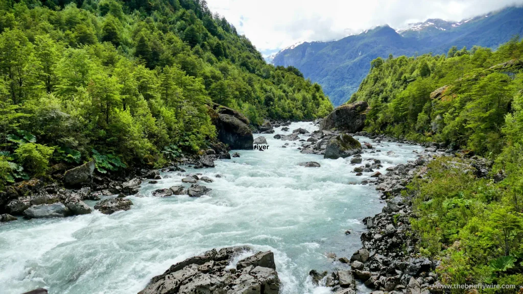
If a river is not suitable for navigation, for example, if it is shallow or contains large rocks, the median line concept may be used.
Under this method, an imaginary boundary is drawn by connecting points that represent the geographical midpoint between the two riverbanks. This effectively divides the river channel between the two countries based on the agreed boundary.
The Thalweg Principle
The Thalweg Principle is one of the most important and widely used principles in international boundary law. Under this principle, the boundary does not necessarily follow the geographical center of a river. Instead, it generally follows the middle of the deepest or main navigable channel of the river.
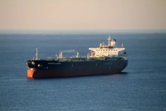
This principle is particularly useful for rivers that are heavily used for the navigation of large ships and boats.
The main purpose of the Thalweg Principle is to ensure that both countries have fair access to navigation and trade along the river.
Under this principle, the deepest and principal navigable channel of the river may serve as the official international boundary between the two countries.
Although the Thalweg Principle and the median-line method are different concepts, both can be useful when determining international river boundaries, depending on the geographical conditions and characteristics of the river.
International Law for Determining River Boundaries
When a river is recognized as an international boundary, its geographical location alone is not enough. A strong legal framework is also required.
Since river boundaries involve questions of sovereignty and territorial rights between two countries, international law and bilateral treaties play an important role in determining the exact boundary.
A country cannot simply claim unilateral rights over a particular section of a river or its riverbank. Such claims are generally addressed through applicable international law, bilateral agreements, and established legal principles.
These legal frameworks do more than simply establish boundaries. They can also help prevent and manage potential future disputes over water resources and territory.
Many international river boundaries have been established through written bilateral agreements between neighboring countries. Such agreements can contain detailed legal provisions concerning the use of river water, the rights of both countries, and the precise location of the international boundary.
To implement these agreements in practice, countries may establish special Boundary Commissions. These commissions work within the relevant legal framework and conduct detailed surveys and measurements to establish the boundary on the ground.
Boundary Commissions may include representatives from both countries, legal experts, surveyors, and geographers.
Using modern technology and geographical surveying techniques, these commissions carry out the complex task of determining and documenting the official boundary while working within the agreed legal framework.
Does an International Border Change When a River Changes Its Course?
Whether an international border changes when a river changes its course is a complex and interesting question in international politics and law.
As part of natural processes, many rivers gradually change their courses over time. As a result, changes in a river’s course can have a direct impact on the geographical boundary between two countries.
However, whether the international boundary actually changes depends largely on how the river changes and how quickly the change occurs.
If a river changes its course gradually and naturally over many years, the international boundary may gradually shift along with the changing course of the river. This process is primarily associated with natural processes such as erosion and sediment deposition.
When the flow of a river gradually erodes one bank and deposits sediment along the opposite bank, creating new land, the boundary may gradually move along with the changing river channel, depending on the applicable treaty and legal rules.
In such cases, there can be a direct legal relationship between river erosion and the international boundary. Through this gradual process, one country may naturally gain a small amount of land, while some territory belonging to the other country may be lost to the river.
Because these changes generally occur very slowly, they do not necessarily lead to major disputes between countries. The legal treatment of gradual changes in a river boundary is often described using the principle of accretion or gradual change, although the precise rule depends on the relevant treaty and circumstances.
On the other hand, if a river suddenly abandons its old course because of a major flood, earthquake, or another natural event and establishes an entirely new channel, the international boundary does not necessarily move with the new channel. This process is known as avulsion.
Under the applicable principles of international boundary law, a sudden natural change does not automatically transfer sovereignty over territory from one country to another.
Therefore, even if the river takes a completely different route, the official boundary may continue to follow the old river channel rather than the newly created one, depending on the governing treaty and legal arrangement between the countries.
This principle is important because it can help prevent sudden changes in river courses from automatically creating changes in national territory and potentially triggering serious international disputes.
Frequently Asked Questions (FAQs)
How Do Rivers Function as International Borders?
Rivers can serve as strong geographical boundaries separating two countries because of their natural, visible, and often difficult-to-cross waterways. However, international river boundaries are not determined solely by geography. They can also be established through historical circumstances, international law, and official agreements between the two countries.
What Is the ‘Thalweg Principle’ Used to Determine a River Boundary?
Under the Thalweg Principle, the international boundary between two countries along a river generally follows the middle of the deepest or principal navigable channel. This principle is particularly relevant to navigable rivers where significant boat traffic takes place, with the aim of providing both countries with fair access to navigation and trade.
What Are Some Major Examples of International River Borders Around the World?
Some of the world’s well-known international river boundaries include the Rio Grande, which forms part of the boundary between the United States and Mexico; the Danube, which flows through and along the borders of several European countries; the Mekong in Southeast Asia; and the Amur, which forms part of the border between Russia and China.
Conclusion
In this article, we explored how rivers created by nature can separate two different countries and cultures, and how rivers can also be used as international boundaries. We also looked at how these river boundaries work and what can happen to an international border when a river changes its course.
In short, nature created rivers to connect people and support life, but it is not appropriate to view rivers merely as areas of conflict or subjects of political disputes.
The future of international river boundaries depends on three important factors: respect for international law, scientific understanding of geographical changes, and cooperation with neighboring countries.
Let us know what you think about this article in the comments. And if you would like to read more articles like this, bookmark our website so you can easily find and read our latest content.